

7·
2 months agoHow can we make sure their privacy claims about search aren’t bullshit?
(I still trust them though, just pointing out it is an equivalent problem)
How can we make sure their privacy claims about search aren’t bullshit?
(I still trust them though, just pointing out it is an equivalent problem)
Cool! I love the concept of Mobilizon, but the user experience has bitten me quite often. Gancio looks really nice!
Shoutout to https://f-droid.org/en/packages/deckers.thibault.aves.libre/, which shows your pictures on a map without any cloud service.

In Chiba city, it is described as “The sky above the port”
Also checkout !openstreetmap@lemmy.ml
Also a great option, but closed source

I used this one or a similar one a while back. Pure magic. It started downloading a ton of stuff, and half an hour later I was greated by a (slow) macOS, good enough to do some tests of my webapp on Safari.

Putt-putt, pajama sam a.d freddy fish are great!

Is now a bad time to pitch https://mapcomplete.org/surveillance ?
Bwa, we’ve had worse ;)
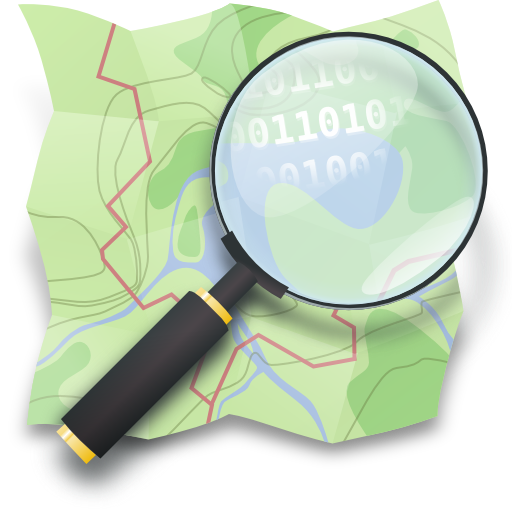
It is the abbreviation of OpenStreetMap.org, a crowdsourced map of the world. You’ve 100% sure already used the data of the project, in the form of Organic Maps, OsmAnd, the maps on Facebook, instagram en Whatsapp or Pokemon Go.
Also checkout !openstreetmap@lemmy.ml
There will never be ‘more momentum’ if you don’t build it. Just kick it off and host this person, others will follow.
I use maps for navigation (mostly OsmAnd) and improve OpenStreetMap with my self-made website (https://mapcomplete.org)
!openstreetmap@lemmy.ml - but that’s also because I helped to get it going during the first reddit-waves ;)

Because the northern hemisphere is mostly land mass and the southern hemisphere is mostly ocean. Land heats faster and cools faster than ocean, thus the seasonal effects are more pronounced in the data.
Same with CO2 patterns which gives a similar yearly ‘breathing effect’